No items found.
aerial survey equipment
Aircraft
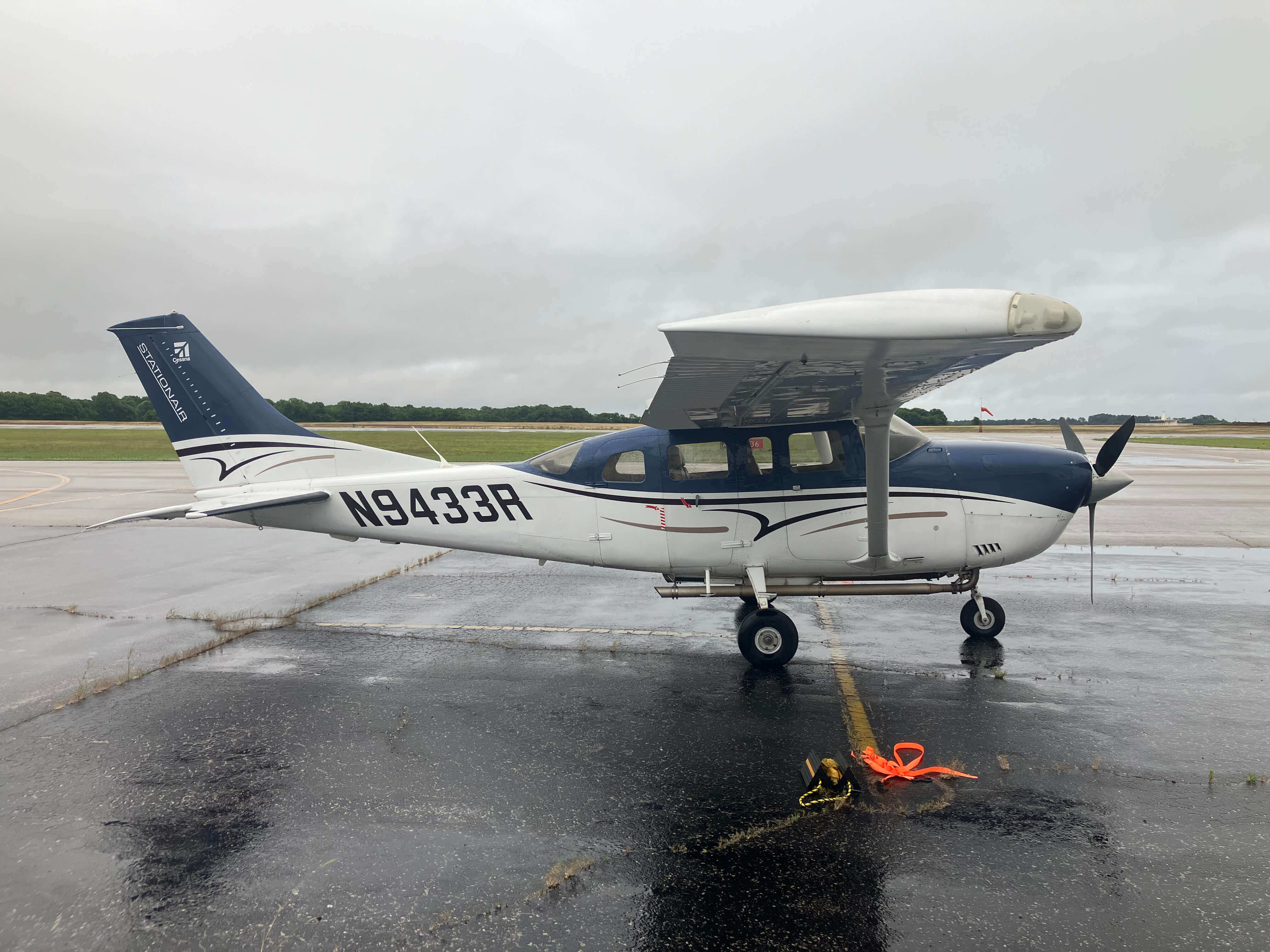
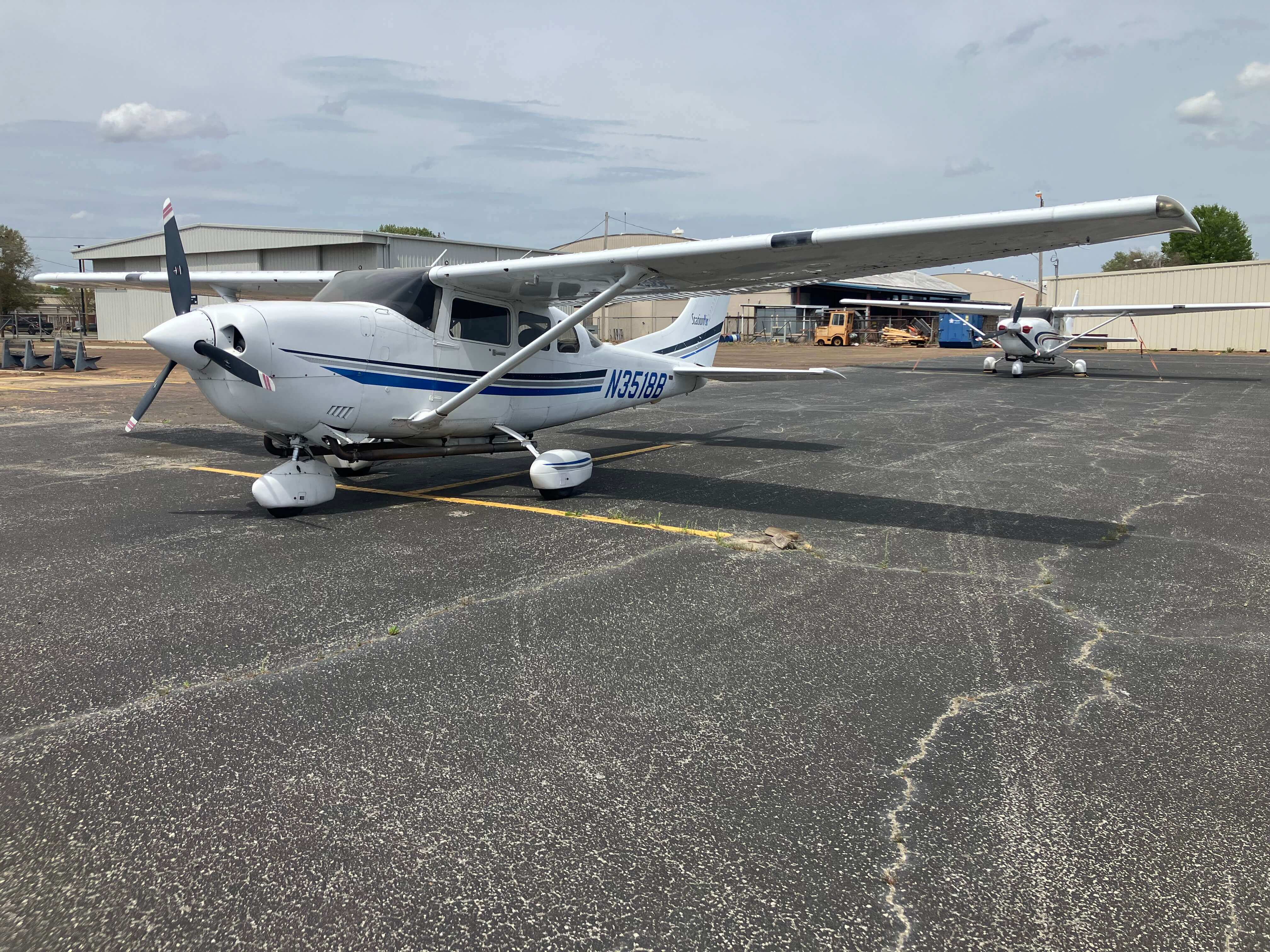
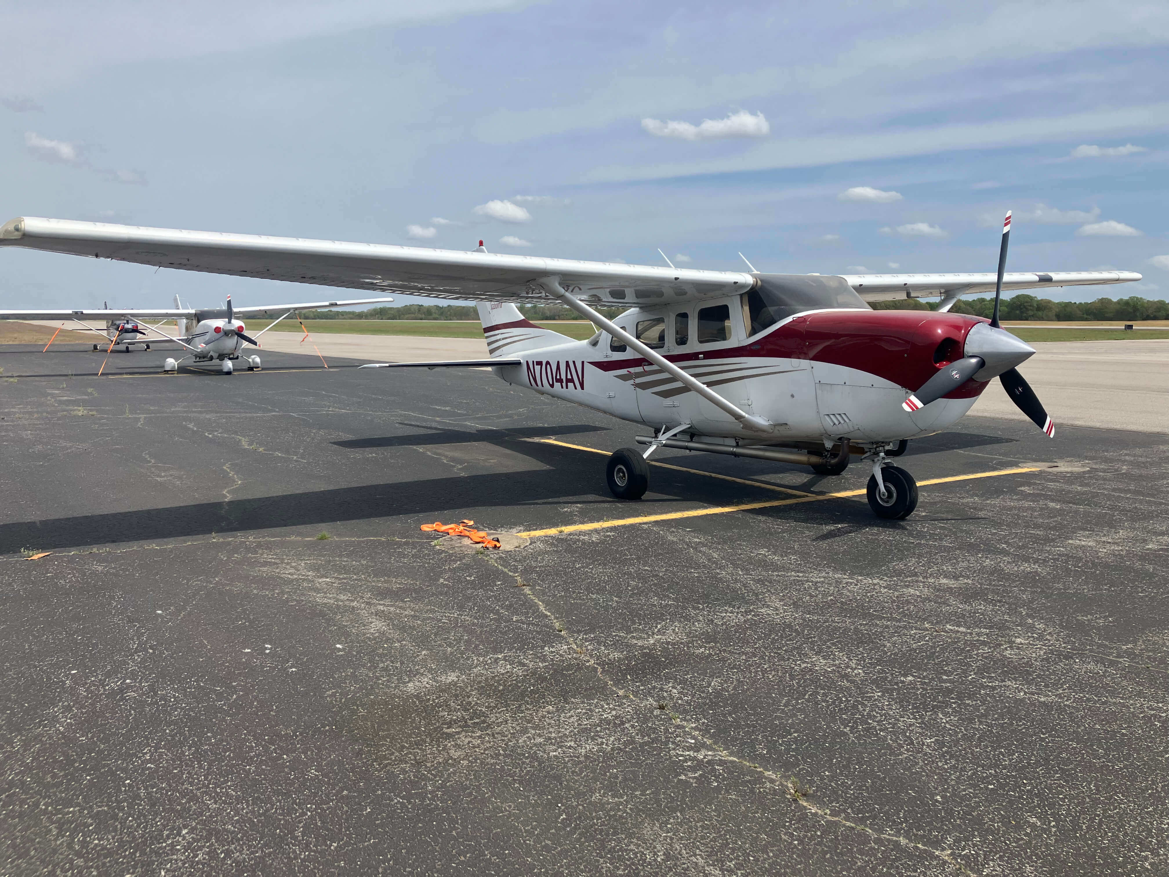
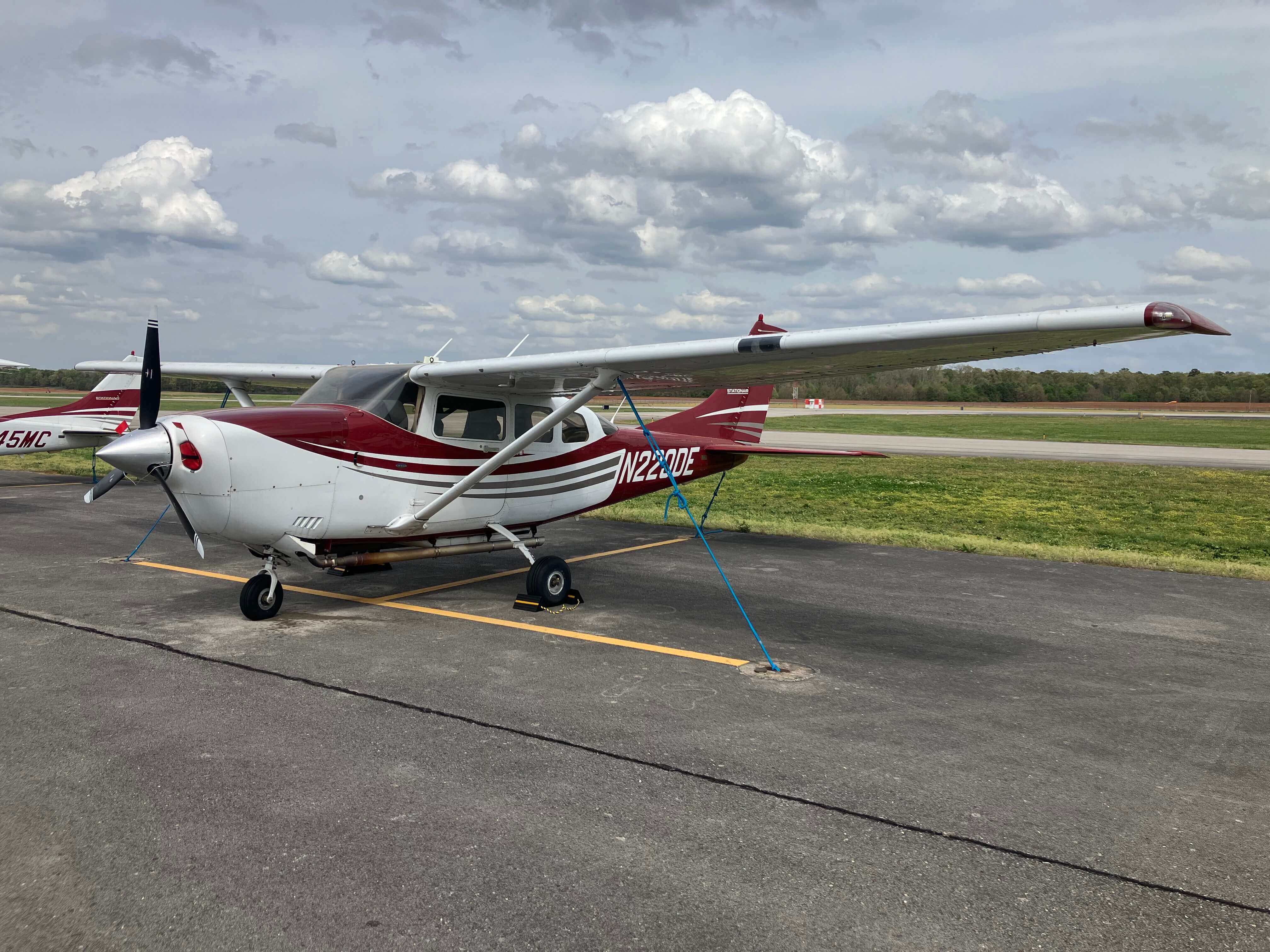
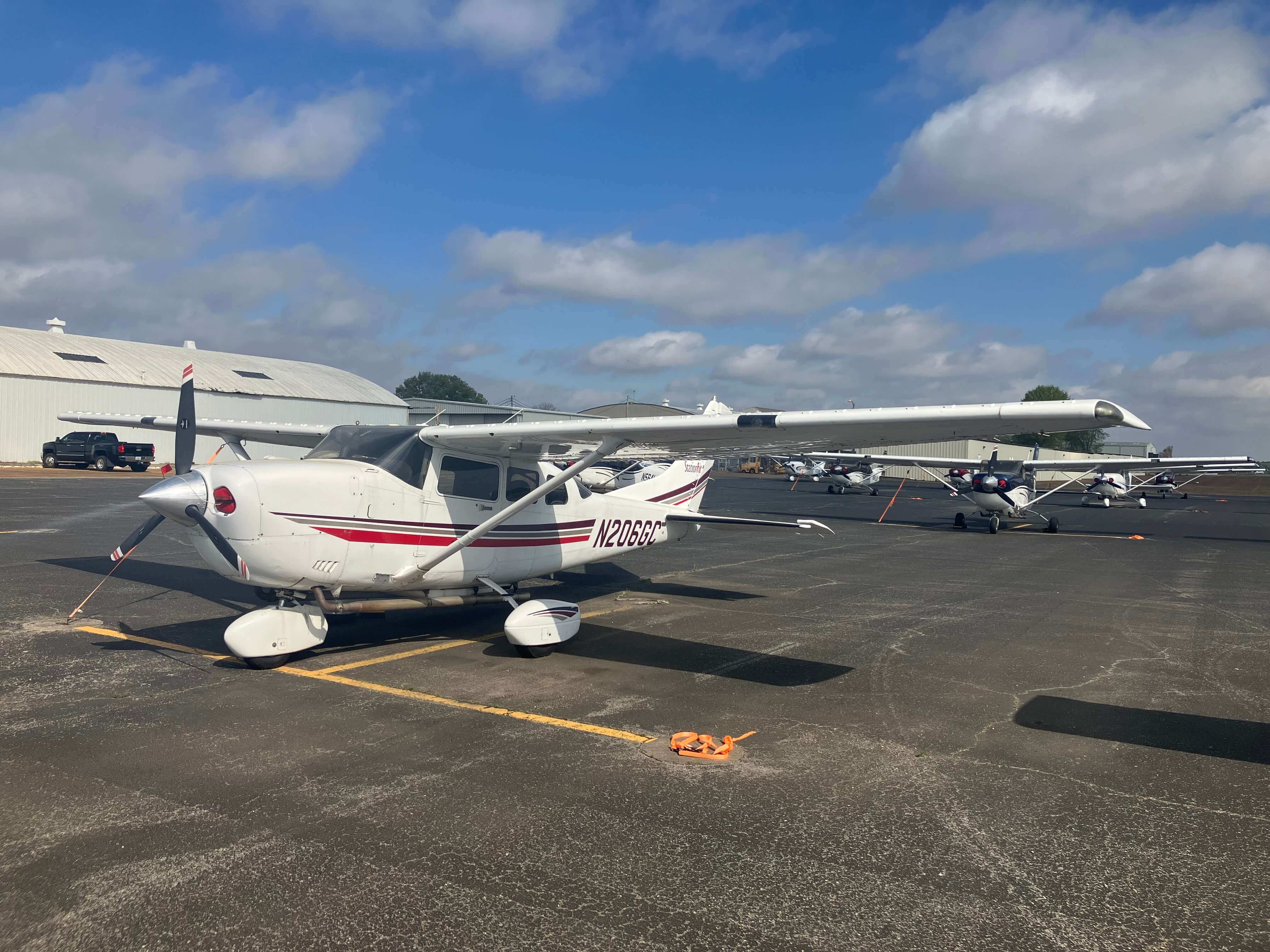
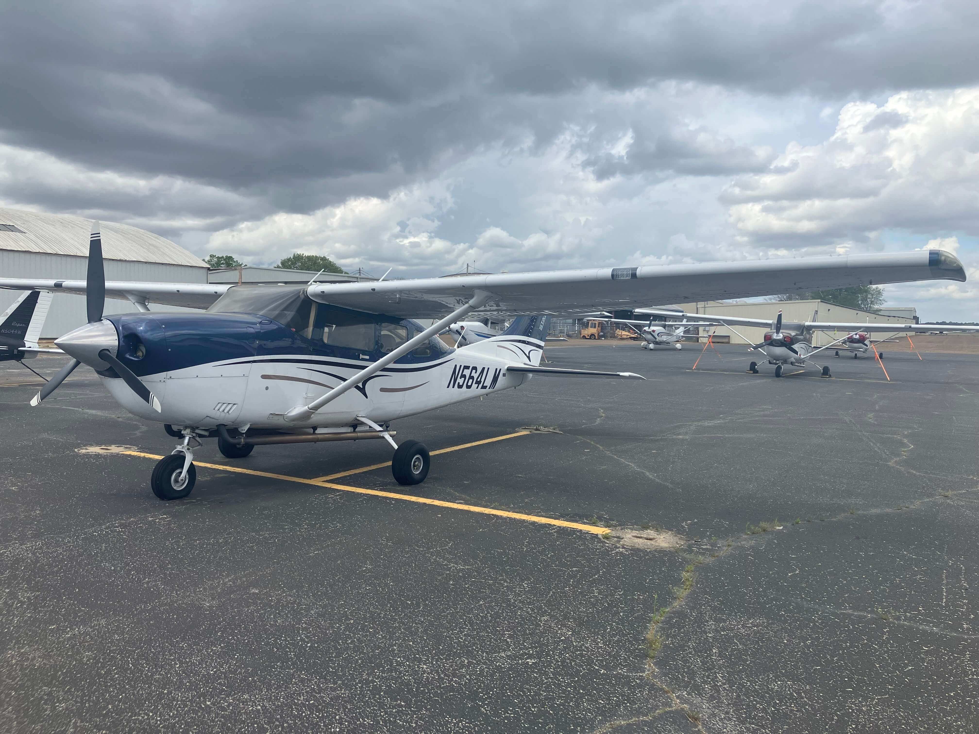
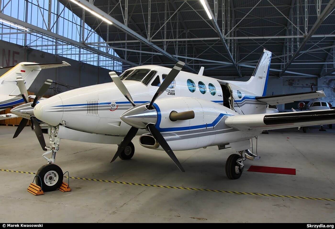
Aerial survey-modified aircraft with hatches to carry lidar, cameras and mounts for geospatial and remote sensing mapping

No items found.


No items found.


Company
Aerial Survey Products
Aircraft Marketplace
Cookie Preferences

Heading
This is some text inside of a div block.