How Do Aerial Cameras Work in Aerial Surveying?
General


Introduction
Since the early days of taking photos from hot air balloons and kites, aerial cameras have evolved and remain an essential tool within the surveying and mapping industry.
They enable surveyors to capture high-resolution imagery from elevated perspectives, enabling comprehensive data collection and analysis.
These sophisticated devices are instrumental in various applications, from urban planning and environmental monitoring to infrastructure inspection and land surveying.
We see our clients mounting aerial survey cameras on a variety of platforms, including drones, helicopters, mobile mappers, and fixed-wing aircraft.
This article delves into the intricate workings of aerial cameras and their pivotal role in aerial surveying, exploring the use of different camera types, the distinction between aerial photography and photogrammetry, how color filter arrays work and their use in aerial surveys, the synergy between aerial cameras and lidar technology, and the advantages of nadir and oblique imagery.
We will also address the pitfalls and challenges that need to be considered when using aerial cameras in surveying endeavors.
Diverse Camera Types for Varied Applications
Aerial cameras come in various types, each tailored to serve different purposes in aerial surveying.
For example, drones are often equipped with compact and lightweight cameras that are ideal for small-scale mapping and rapid response scenarios.
Helicopters and fixed-wing aircraft are able to fly more sophisticated medium or large format cameras.
These cameras are optimized for capturing imagery over larger areas, at high altitudes, and with greater detail. They can accommodate a range of lenses and sensors, including multispectral and thermal options, to cater to specific surveying needs.
Helicopter-mounted cameras are versatile, able to hover or fly slowly for detailed data acquisition, while fixed-wing aircraft are better suited for large-scale surveys that cover vast regions.
Aerial Photography vs. Aerial Photogrammetry
A crucial distinction to be made in the realm of aerial surveying is between aerial photography and aerial photogrammetry.
While both involve using aerial cameras, they serve distinct purposes and involve different processing methodologies.

Aerial photography focuses on capturing high-resolution images or videos for visual inspection and documentation.
These images are not necessarily calibrated for precise measurements. Aerial photographers typically aim to produce striking visuals, which can be valuable in fields like marketing, media, and environmental monitoring.
In contrast, aerial photogrammetry is a science that leverages the principles of geometry and mathematics to convert 2D or 3D imagery into precise geospatial data.

Aerial photogrammetry relies on the use of highly calibrated cameras to ensure that the captured imagery can be used for accurate mapping and measurement.
This method is essential for applications such as topographic mapping, land surveying, and infrastructure assessment, where precise measurements are imperative.
Color Filter Arrays for Aerial Survey Applications
A color filter array (CFA) is a pattern of color filters placed over the individual pixels of an image sensor in digital cameras. The primary purpose of a CFA is to enable the camera to capture color information in a manner similar to how the human eye perceives color. Each pixel on the sensor is typically covered by one of the color filters, which can be red, green, or blue (RGB), in varying combinations depending on the specific CFA pattern.
The importance of a CFA for how aerial cameras work lies in its ability to:
- Capture Color Information: Aerial surveying often involves capturing high-resolution imagery of landscapes, buildings, and natural features. To provide a comprehensive and accurate representation of the surveyed area, it's crucial to record not only the brightness or intensity of light but also the color of objects. CFAs enable cameras to capture this color information, which is vital for various applications, including land cover classification, vegetation analysis, and urban planning.
- Produce Full-Color Images: The color filters in CFAs allow cameras to record the intensity of light in the red, green, and blue spectral bands. By interpreting the data from the sensors, digital cameras can create full-color images that mimic what the human eye sees. This is essential for producing visually informative and recognizable photographs during aerial surveying.
- Eliminate the Need for Separate Sensors: Without a CFA, capturing color information would require multiple image sensors—one for each color channel. This would significantly increase the complexity and cost of the camera system. CFAs, by integrating color filters on a single sensor, make the camera more compact, cost-effective, and practical for aerial surveying.
- Minimize Data Storage and Transmission: Using a CFA reduces the amount of data that needs to be stored and transmitted by the aerial cameras, as each pixel captures color information with a single exposure. This efficiency is crucial when dealing with the large volumes of data generated during aerial surveys.
- Simplify Post-Processing: CFAs require a process known as demosaicing to interpolate the missing color data for each pixel, resulting in a full-color image. This post-processing step is well-established and widely supported in imaging software, making it easier to work with aerial survey imagery.
Panchromatic and Bayer Pattern Sensors
Pan sharpening and the Bayer pattern are essential techniques used in conjunction with aerial survey cameras to enhance the quality and accuracy of imagery.
Pan Sharpening
Pan sharpening involves fusing high-resolution panchromatic (pan) imagery with lower-resolution multispectral (color) imagery.
A panchromatic sensor captures high-resolution imagery while other panchromatic sensors with color filters on the lens provide the color information to produce the final image.
This fusion leverages the superior spatial detail of the panchromatic channel and the spectral richness of the multispectral channels, resulting in high-resolution, full-color imagery that aids in precise land cover classification, vegetation analysis, and feature identification. The Vexcel Ultracam Eagle line of cameras use pan sharpening technology.
Bayer Pattern
The Bayer pattern, named after its inventor Bryce Bayer, consists of a mosaic of red, green, and blue color filters laid over individual pixels on an image sensor.
The arrangement typically follows a 2x2 repeating grid, with twice as many green filters as red and blue ones. The green filters are more prevalent because human vision is more sensitive to green light.

This pattern is used to capture color information in digital photographs, and it requires a process called "demosaicing" or "debayering" to interpolate the missing color data for each pixel. This interpolation is essential for generating full-color images from a sensor's output.
It enables the camera to capture color information by overlaying red, green, and blue filters on individual pixels of the sensor.
This combination results in color-enhanced, high-resolution imagery that is crucial for accurate mapping, land surveying, and other geospatial applications. All of our Phase One cameras utilize Bayer pattern technology.
Synergy with Lidar for Comprehensive Data Collection
Aerial surveying often requires the integration of various technologies to achieve comprehensive results.
One such synergy is between aerial cameras and lidar technology. Lidar involves the use of laser pulses to measure distances and create detailed 3D point clouds.
When combined with cameras, it provides a comprehensive data set that includes both imagery and highly accurate elevation data.
This fusion of aerial survey cameras and lidar is particularly useful in applications like forest management, urban planning, and powerline inspection. The combination allows for a more in-depth understanding of the surveyed area, enabling precise modeling and analysis.
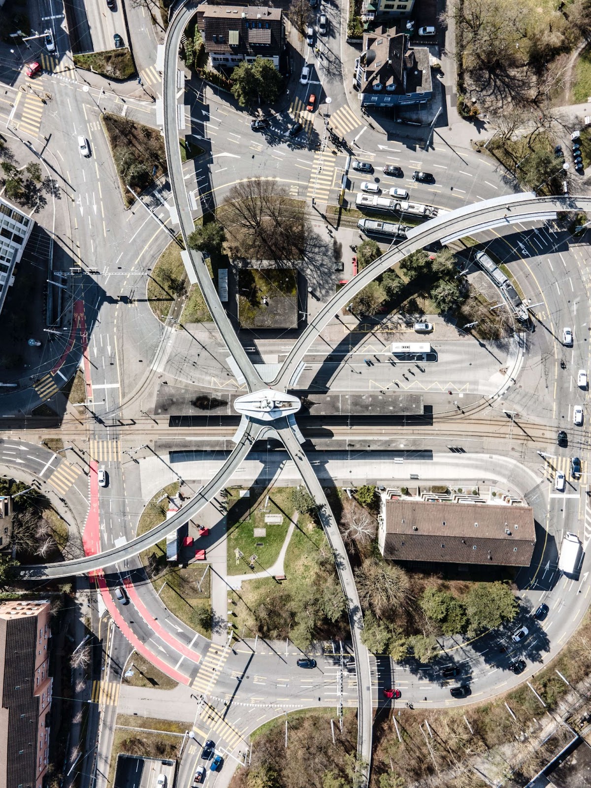
Nadir and Oblique Imagery
Imagery can be captured from different angles, and this versatility is leveraged in aerial surveying to provide a more comprehensive perspective of the surveyed area. Two primary perspectives are nadir and oblique imagery.
Nadir imagery

Nadir imagery is captured directly below the aircraft, providing a top-down view. This perspective is essential for precise mapping and orthorectification as it minimizes distortion.
It is commonly used in applications that require accurate georeferencing, such as land surveying and infrastructure inspection.
Oblique imagery, on the other hand, is captured at an angle, providing a broader view of the area.

While it may introduce some distortion, oblique imagery is invaluable for visual inspection and 3D modeling. This perspective is useful in applications like disaster assessment, real estate marketing, and cultural heritage preservation.
Challenges and Pitfalls of Aerial Cameras
Despite their myriad advantages, aerial cameras come with their set of challenges and pitfalls. These include:
- Weather Dependency: Aerial surveying is heavily dependent on weather conditions. Adverse weather, such as strong winds, heavy rain, or fog, can impede data collection and compromise the quality of imagery.
- Regulatory Compliance: Operating cameras, particularly on drones, is subject to strict regulations in many regions. Navigating the legal requirements and obtaining necessary permits can be a complex and time-consuming process.
- Data Storage and Management: Aerial photogrammetry generates vast amounts of high-resolution imagery and data, leading to substantial data storage requirements. Efficient data management and processing are vital to make the most of this wealth of information.
- Calibration and Georeferencing: To ensure the accuracy of surveying results, aerial survey cameras require precise calibration and georeferencing. This process can be labor-intensive and time-consuming.
- Image Overlap and Timing: Aerial photogrammetry relies on overlapping imagery to create accurate 3D models. Proper flight planning to ensure overlap and timing between image captures can be a challenge, especially in complex terrain or urban environments.
FAQs
What are the main components of an aerial camera system?
Aerial camera systems used for photogrammetry generally include the camera body, a lens with a focal length suitable for the project requirements. You may also need a flight management system and a controller to trigger the camera. If you are using a large-format camera, you may also need a gyrostablized mount.
What kind of aircraft are used for aerial photography?
Our clients flying manned aircraft are often using helicopters with aerial cameras mounted on the nose or carried in a pod. We also see medium format cameras integrated with lidar systems and mounted into a camera hatch, often in single or twin engine aircraft with single or double camera hatches.
What are the different types of aerial cameras?
For surveying, our clients use medium or large-format cameras with or without lidar. Some projects may require specialized cameras such as multispectral or thermal cameras.
What are the two types of aerial photographs?
Aerial photographs may be captures as nadir (or vertical) images, in which the camera lens is directed straight down at the ground. Or, images may be captured at an oblique angle, which is often used when mapping urban structures or when doing corridor mapping.
Conclusion
In conclusion, aerial cameras are the cornerstone of modern aerial surveying, offering versatility, precision, and an array of options to cater to diverse applications.
Whether mounted on drones, helicopters, mobile mappers, or fixed-wing aircraft, these sophisticated devices enable professionals to capture high-quality imagery for mapping, measurement, and visualization.
At AERIALSURVEY.com, we carry new Phase One medium format aerial survey cameras as well as many used camera systems and parts. We also offer large format aerial cameras for both nadir and oblique imagery.
Be sure to contact us if you have any questions about what aerial survey camera might best suit your projects.


Company
Aerial Survey Products
Aircraft Marketplace
Cookie Preferences
