Aerial Survey powered by Revolution Geosystems
Home
Survey Equipment
New Products & Services
Pre-owned Equipment
Rent Products
Aircraft Marketplace
Browse Listings
how it works
Pricing
FAQs
Safety Guidelines
About
Our Team
News
Contact
Account
dashboard
Submit
Settings
Logout
Login
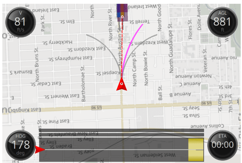
Aerial Survey Equipment
Search Results
What are you looking for?
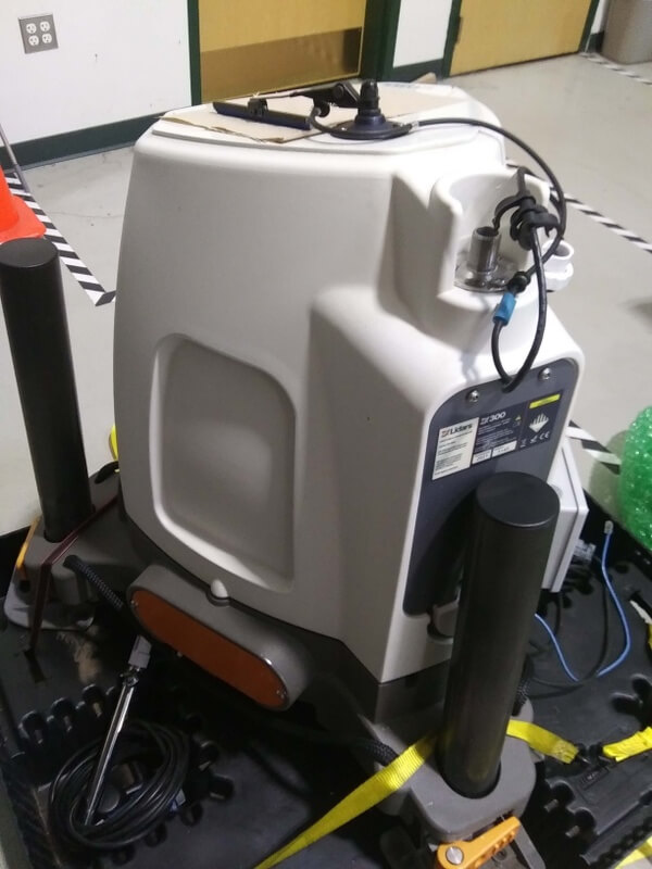
ZX 300 Wind Lidar | ZX Lidars | Archive
ZX300 Wind Lidar: Remote wind speed measurement
view
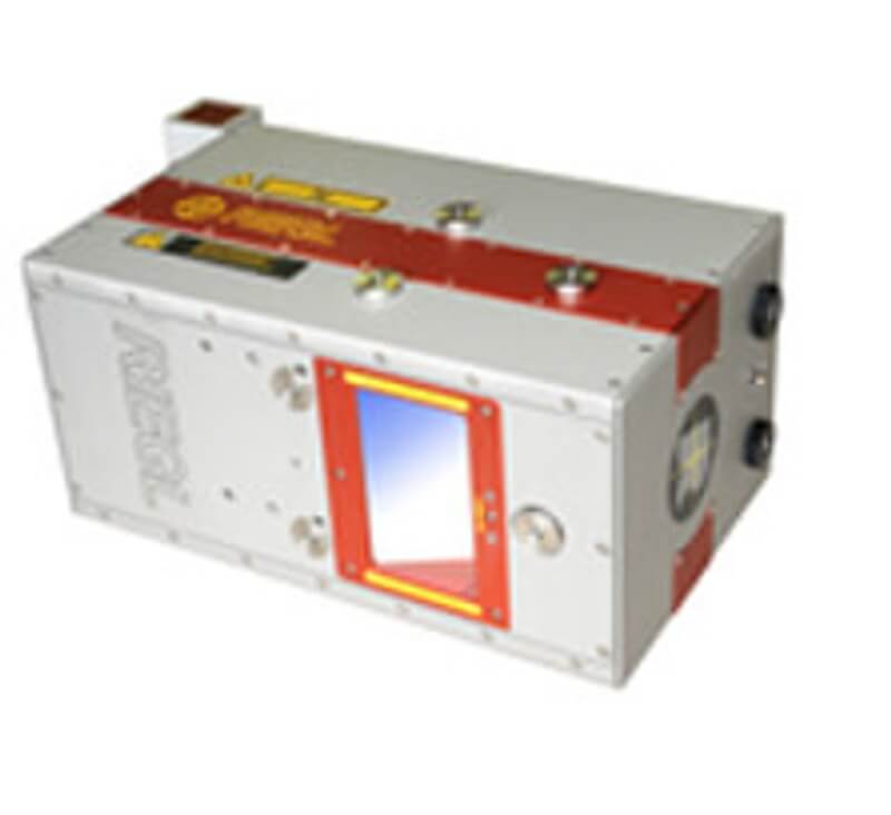
452 - ELMAP30 Lidar System | Lidar | Archive
GeoLas EL-MAP30 laser scanner- new with warranty
view
PHOENIX LiDARMill | PHOENIX LIDAR SYSTEMS | Live
PHOENIX LiDARMill Software
view
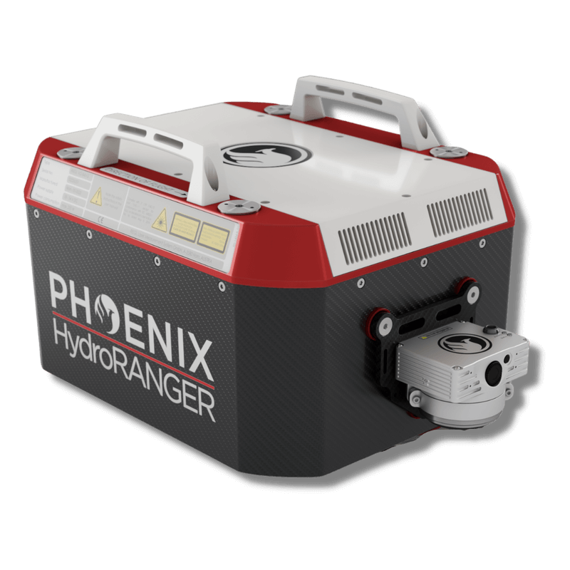
HydroRANGER | PHOENIX LIDAR SYSTEMS | Live
PHOENIX HydroRANGER airborne topo-bathymetric system
view
298 - Riegl Q680i | Lidar | Live
Riegl Q-680i for lease
view
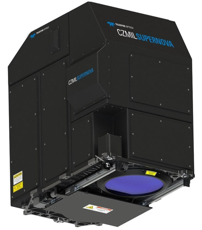
535 - CZMIL SUPERNOVA | Lidar | Live
Optech CZMIL Supernova Bathymetric Lidar
view
RANGER-ULTRA+ | PHOENIX LIDAR SYSTEMS | Archive
PHOENIX RANGER-ULTRA+ airborne laser scanner
view
433 - RANGER-XL | Lidar | Live
PHOENIX RANGER-XL lightweight airborne laser scanner
view
118 - VQ1560I-DW | Lidar | Live
RIEGL VQ1560I-DW for hire
view
Ranger XL | Phoenix LiDAR | Live
2020 Phoenix Ranger XL for sale
view
miniRANGER-3 LITE | PHOENIX LIDAR SYSTEMS | Live
Phoenix miniRANGER-3 LITE laser scanner
view
PHOENIX Spatial Explorer | PHOENIX LIDAR SYSTEMS | Live
PHOENIX Spatial Explorer Software
view
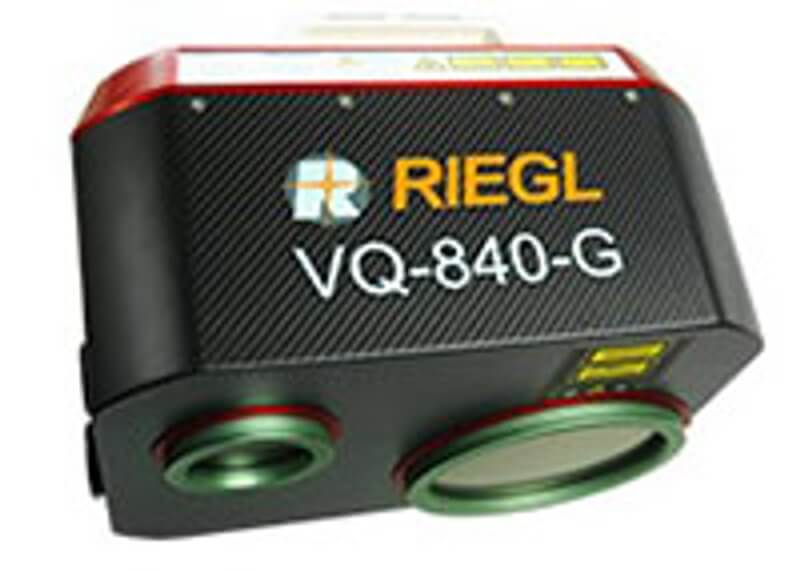
600 - VQ-840-G | Lidar | Live
Riegl VQ-840-G available for rent with operator
view
ELMAP30 Lidar System | GeoLas Systems | Archive
GeoLas EL-MAP30 laser scanner- new with warranty
view
402 - VQ-1560-II | Lidar | Live
Riegl VQ-1560 - II for lease
view
RANGER-ULTRA | PHOENIX LIDAR SYSTEMS | Archive
PHOENIX RANGER-ULTRA airborne laser scanner
view