How to Invest in Lidar Sensors for Longevity
General


Is it better to have one top-of-the-line lidar sensor or multiple lidar sensors? How might point cloud accuracy compare between sensors on the same project? Do you want to provide the most accurate data for your clients, or just enough accuracy?
We recently had a conversation with Mark Meade PE, PLS, CP, former senior vice president of NV5 Geospatial, about a one-of-a-kind experiment that NV5 performed in 2019 in partnership with the Oklahoma Department of Transportation (ODOT) and published in Lidar Magazine in 2021. This experiment tested the accuracy of three Riegl lidar sensors to see how point cloud vertical and horizontal accuracies compared when scanning the same area. Their conclusion may surprise you.
The Experiment
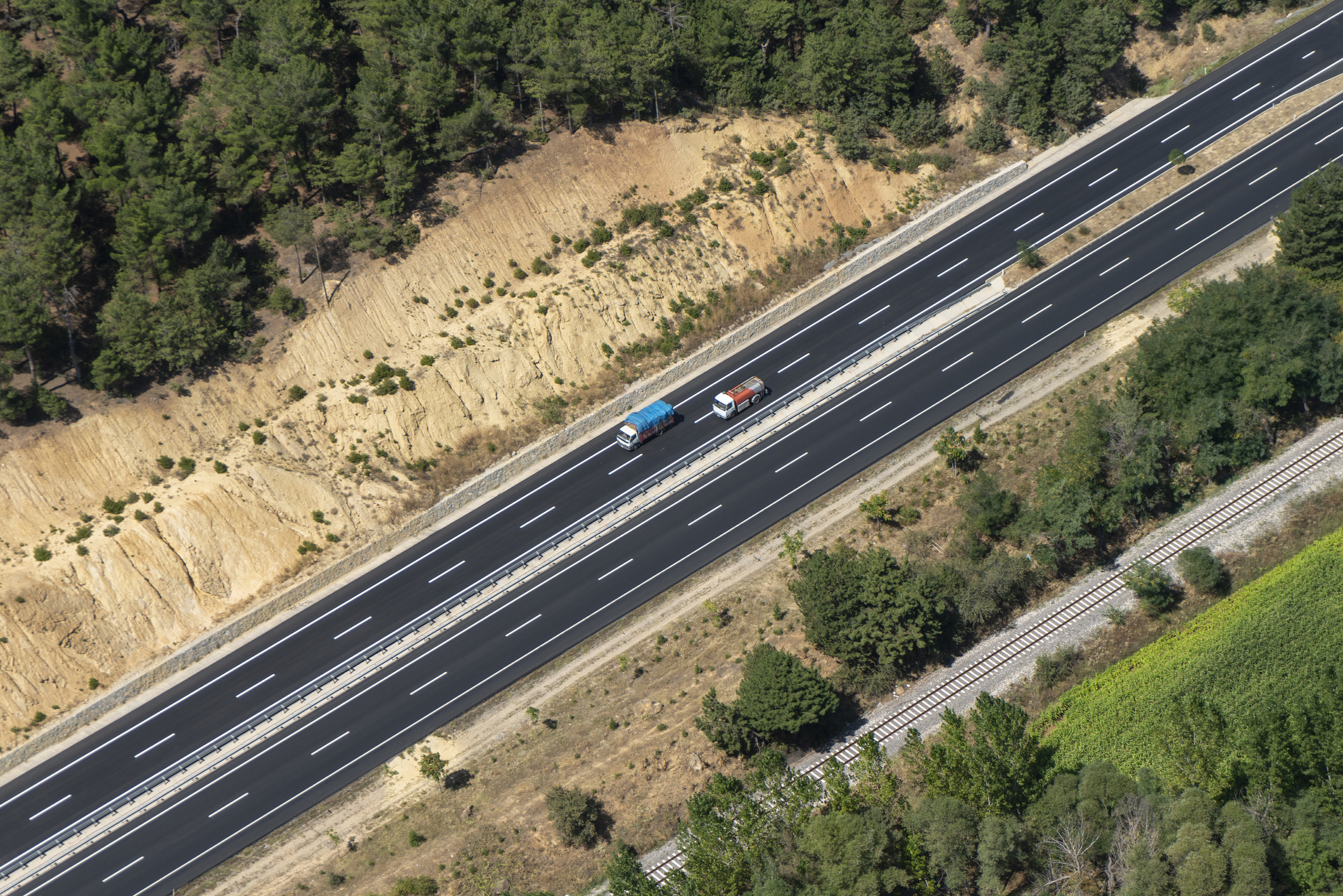
NV5 set a 2-mile stretch of land in Oklahoma as their test area. The land was fairly barren— no buildings, or dense vegetation — just highway (a hard surface) and the land around the highway (varied surface). The varied surface contained gently rolling terrain and varying vegetation ranging from open terrain to dense grasses and Mesquite trees.
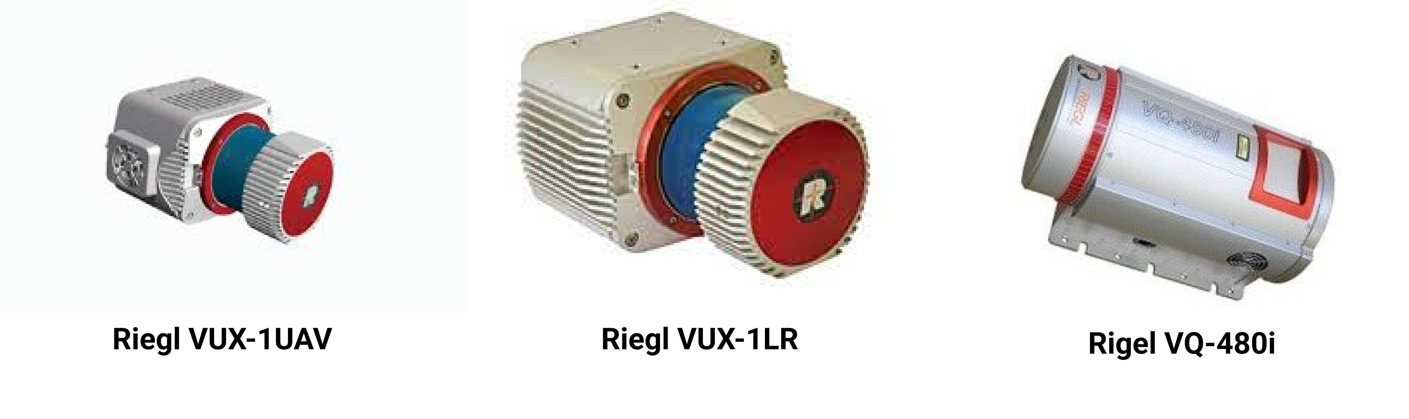
The three different lidar sensors used were a Riegl VUX-1 flown on an sUAS, two Riegl VUX-1LRs for nadir and oblique scanning flown in a helicopter, and a Riegl VQ-480i sensor also flown in a helicopter. They flew over hard surfaces and varied surfaces to get a better understanding of how point cloud vertical and horizontal accuracies compares between the sensors.
NV5 used the same software for trajectory processing and creation of the point clouds. They also used the same high accuracy ground targets in the calibration of all the point clouds. They took 13 calibration points, 15 hard-surface blind QA points, 36 cross section points on hard surfaces, 344 cross section points on varied land, and 24 additional blind QA points on and off hard surfaces
NV5 flew each lidar sensor at different heights: the VUX-1 was flown at 250 feet, the VUX-1LRs were flown at 450 feet, and the VQ-480i was flown at 600 feet.
Accuracy Versus Efficiency
Which lidar sensor do you think provided the best point cloud density? Which lidar sensor and platform would you choose for this project?

The results of the experiment showed that in these 2 miles, all three sensors developed strikingly similar point clouds with a very low vertical root mean square error of 0.04 feet. Hard surfaces gave a 95% confidence interval of 0.08 feet.
ODOT confirmed the results of the tests done by NV5 by taking 24 additional point into account. The results of their test showed the same exact results as the one performed by NV5.
If you want to learn more about this experiment, you can check out the full article here.
“I find all the manufacturers provide very good information that is helpful to users of their sensors. But there are a nearly infinite number of variables in the use of these in real world conditions. Terrain relief, vegetation, soil types, the amount of development, atmospheric conditions, turbulence, to name a few.” -Mark Meade
It is difficult to decipher exactly how a sensor will perform based solely off specs provided by a manufacturer. You will need experience using the lidar sensor. Manufacturers can’t say exactly how every sensor would perform in any given project.
When gathering data, “you always shoot for better accuracy than the client’s project requirements” says Mark. It is always better to capture data with more accuracy than your project specs require and avoid having to do re-flights. That being said, you need to balance the additional accuracy versus project cost. Aiming for 5% more accuracy than the project specifications require gives you flexibility without making the project more expensive than it needs to be.
Mark helped us to understand that in a perfect world, ultra-high accuracy data would be collected by mobile mappers and terrestrial mappers.
“Mobile mapping typically provides vertical accuracies and point densities that aren't possible with an airborne approach. Mobile really shines in the most demanding roadway and roadside utility applications.”
But we know that mobile and terrestrial scanning are not always feasible or practical. An airborne platform is sometimes the most efficient, highly accurate, and the most cost effective.
“Airborne acquisition doesn't have the same limitations in terms of most ground-based obstacles and can easily see into construction sites or around vehicles on the roadway.”
Airborne scanning is beneficial when you are scanning complex terrain, such as an area that is very dense with vegetation, or when you need to map a large area in a small amount of time.
How to Choose the Lidar Sensor for Your Projects
Clients often asked us, “What kind of lidar sensor is best for the type of work that I do?” We posed this same question to Mark to get his perspective.
“My advice is to look closely at the performance and characteristics of each sensor as well as the downstream processing workflow to find the right fit for your specific needs. Will your projects focus primarily on flat terrain, or often take place in the mountains of Colorado or the Pacific Northwest? Do your clients generally want projects completed at low-density QL1 or QL2 requirements, or do they need high densities of 100 points per square meter? Do you care more about accurately modeling the built environment like electric transmission and distribution lines, or the natural ground below? Do you need a compact, lightweight sensor to fit in a small pod, or do you have ample room in the cabin and no concern about weight?”
Here are some more questions to ponder as you think about what lidar sensor to purchase for your business. Is the most powerful and newest model most appropriate for the majority of my projects? Does it meet my clients’ accuracy needs, or will it be overpowered for my projects? Do I want to pursue projects in the future that will require different sensor capabilities?
Conclusion
Answering these questions may help you narrow down your search for a sensor. Buying used equipment, whether it is from the manufacturer or from a broker like AERIALSURVEY.com, enables you to purchase at a fraction of the price that new lidar sensors cost This could mean that you are able to use the savings to purchase multiple sensors for project flexibility and efficiency.
If you are new to our AERIALSURVEY.com community, please check out our blog article titled “Top 4 Things to Know When Buying Your First Lidar” for basic information in regard to buying lidars. At AERIALSURVEY.com we are committed to finding you the highest quality equipment at a competitive price. Reach out to us through our website, LinkedIn, or email and we will be sure to help you in any way we can.


Company
Aerial Survey Products
Aircraft Marketplace
Cookie Preferences
