Available
Not Available
Not Available
Available
Available

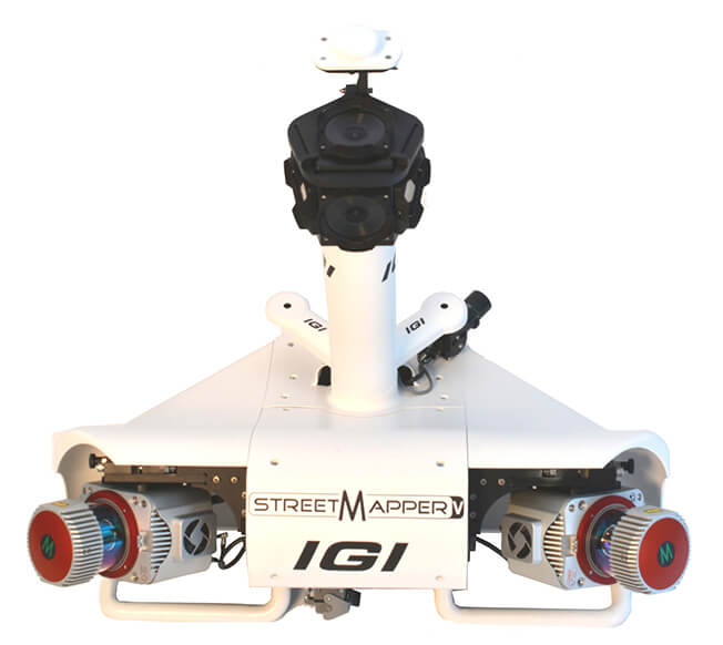
StreetMapper V
Availability
Description
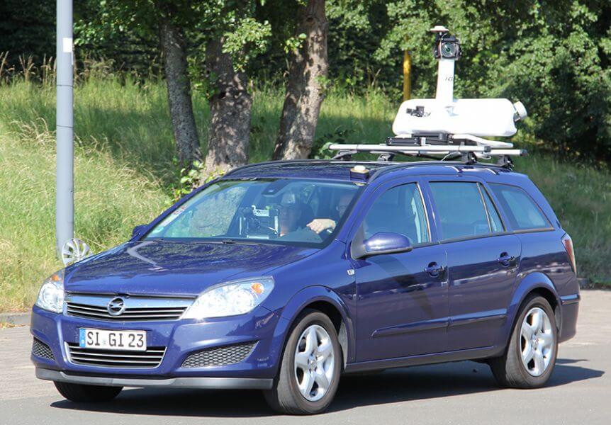
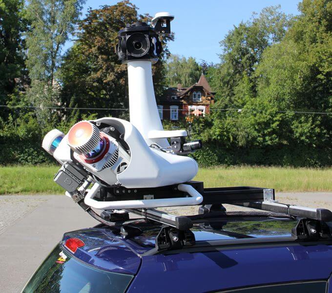
New with Warranty! IGI StreetMapper V
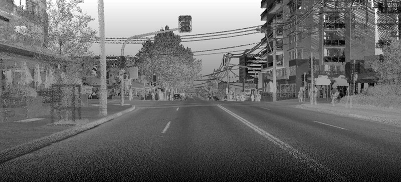
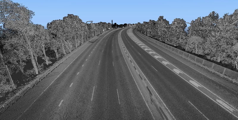
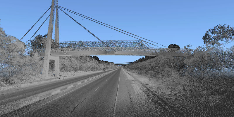
The IGI StreetMapper V mobile mapping technology is engineered specifically for high-speed surveying of roadways, infrastructure, and urban environments. By combining state-of-the-art navigation systems with high-precision laser scanning technology and sophisticated data processing algorithms, this advanced system delivers exceptional accuracy even in complex urban settings. The innovative design ensures reliable performance and precise measurements across challenging surveying conditions, making it an ideal solution for comprehensive infrastructure mapping projects.
Features include:
- Highest Accuracy with IGI TERRAcontrol
- Proven highest accuracies in the absence of GNSS
- Dual Antenna Support
- Optical Odometer
- ZUPT Sensor
- Integrated laser scanners from Riegl
- Integrated Panoramic Camera, LB5+
- Integrated12/31MP camera, DIgiCAM-RT
- IntegratedThermal camera, DigiTHERM-640
- 360 Degree Field Of View
- Flexible Lifting Platform
Gallery
.jpeg)


.jpeg)
.jpeg)
.jpeg)
No items found.
Request a Quote
Get in touch directly with our sales team
Newsletter
Join +15K active subscribers
Stay in the loop! No spam. Ever.


Company
Aerial Survey Products
Aircraft Marketplace
Cookie Preferences
