
PHOENIX Mission Guidance
Availability
Description
PHOENIX Mission Guidance Software
In unmanned acquisition, a flight plan is commonly loaded into the UAV and executed by the flight controller with predictable velocity and accuracy. However, unmanned acquisition adds a pilot/driver as an additional source of uncertainty.
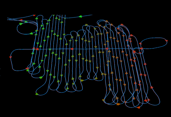
Phoenix LiDAR Systems' Mission Guidance is designed to help streamline manned LiDAR data acquisition by supplying the pilot/driver with guidance information. The same flight plan that would be navigated by a UAV's flight controller is now visualized to the pilot relative to the vehicle's current position along with allowed tolerances, allowing fine adjustments in real time.
A wide range of configuration options allows customizing the visualization to the pilot's preferences, while a deep integration into SpatialExplorer supports intuitive flight plan management by the sensor operator.
PLAN FASTER
Load and review a flight plan in SpatialExplorer prior to flight. Users can organize the approach, check and adjust heights, and configure the interface as desired.
MAKE ADJUSTMENTS INSTANTLY
Real-time acquisition management by the sensor operator from within SpatialExplorer during flight: ensuring that all passes are successfully collected within tolerance and according to the plan, rescheduling lines as necessitated by weather or other external factors, and making in-flight decisions confidently.
Gallery
Request a Quote
Get in touch directly with our sales team
Join +15K active subscribers
Stay in the loop! No spam. Ever.


Company
Aerial Survey Products
Aircraft Marketplace
Cookie Preferences
