Available
Not Available
Not Available
Available
Available

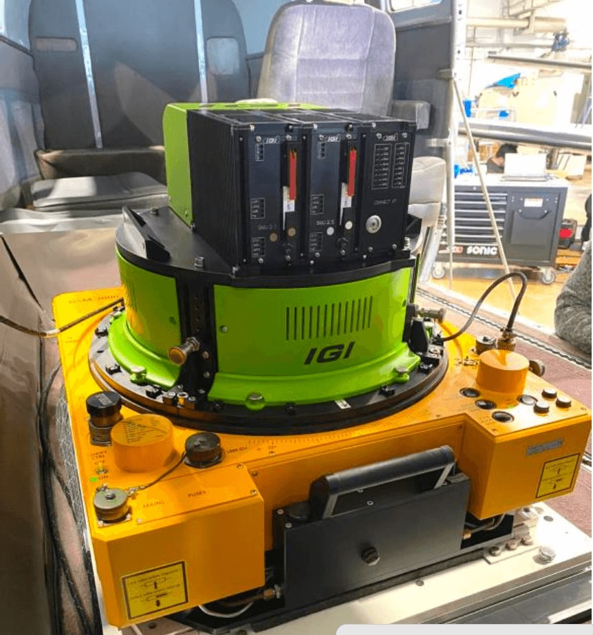
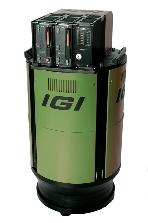
EcoMapper
Availability
Description
New with Warranty!
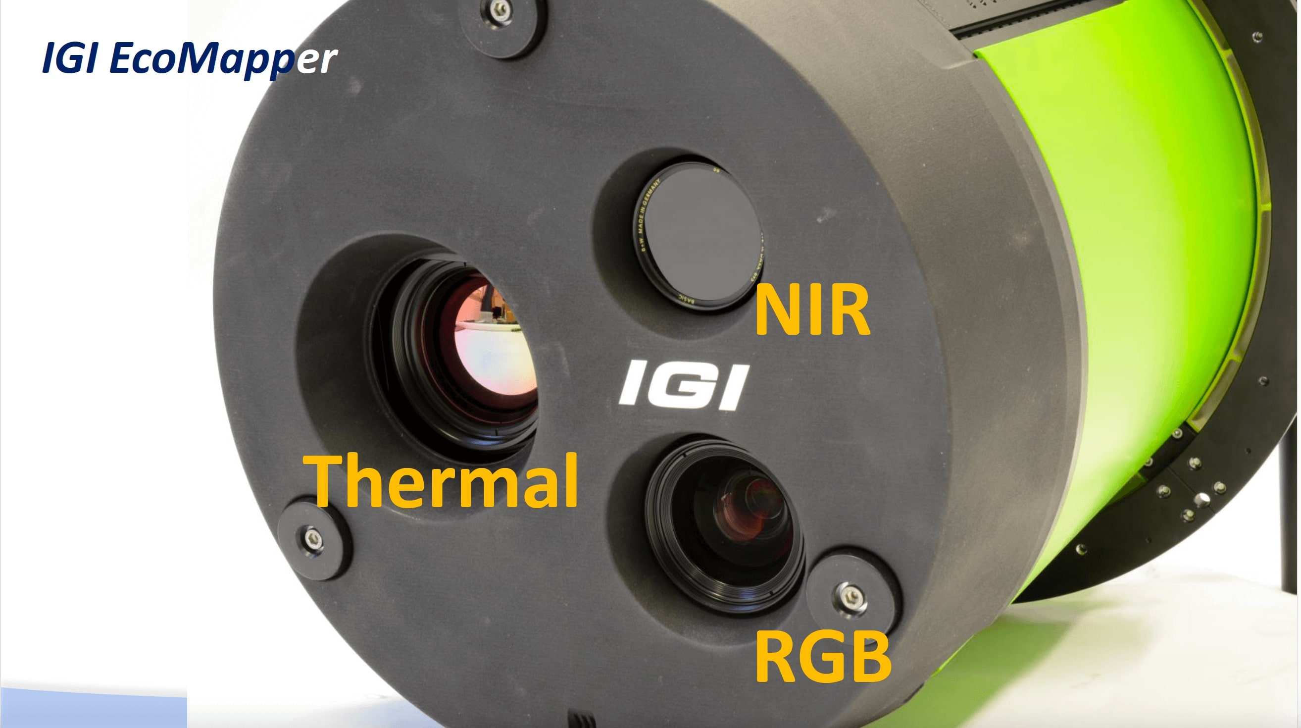
5-BAND IMAGERY IN A SINGLE SOLUTION
Introducing the cutting-edge 5-Band Aerial Camera System for thermal maps – the IGI EcoMapper.
Unlock the power of this system for environmental monitoring, urban planning, agriculture and disaster management. Capture, analyze and visualize critical data in five distinct spectral bands: R, G, B, NIR, Thermal.
Features include:
- Synchronous image capture in all spectral bands
- Flight parameters not limited by the thermal sensor (=> image blur)
- Ratio of the footprint size RGBI / TIR ~1.5
- One software package for processing all image products (IPS)
- Exact time tagging and georeferencing of the thermal images
- Reliable mechanical shutter for in-flight NUC procedures
- GSM 4000/5000 support
The IGI EcoMapper provides accurately geo-referenced data for:
- Multispectral maps
- Thermal 3-D models
- Heat-loss maps
- Industry facility inspection
- Agricultural application
- Solar power plant inspection
- City-climate modeling
- Standard mapping products
Gallery
No items found.
Request a Quote
Get in touch directly with our sales team
Newsletter
Join +15K active subscribers
Stay in the loop! No spam. Ever.


Company
Aerial Survey Products
Aircraft Marketplace
Cookie Preferences
